Hot Spots
Climate change isn’t uniform. Some parts of the U.S. are seeing conditions that won’t hit elsewhere for decades.
Friday’s Washington Post had a fascinating article about climate change hotspots within the United States. The largest one was on the Western Slope of the Rockies, which has already seen 2 °C of warming. The story is a reminder that the impacts of climate change will be global and yet also very much local.
Before I get to the substance of the Post story, I want to say something about how it was written. One fascinating aspect of the story is what it says about journalism today. This is investigative journalism — uncovering new facts — but definitely not in the mode of Woodward and Bernstein’s Watergate investigation.
Here’s the journalists’ explanation for how the Post identified the hotspots. They began by using county-by-county data for 1895-2019 from NOAA. But they didn’t just report the contents of that database. Instead, they began by calculating temperature trends using linear analysis, and then applied bilinear interpolation to increase the resolution of the data for map-making.
This is a far cry from old-school journalism, meeting confidential sources in empty parking garages to get the inside scoop. Who would have thought that linear regression would be the technique de jour of hard-hitting journalism? How long can it be before they discover Machine Learning? Maybe data analysis will be the New Journalism.
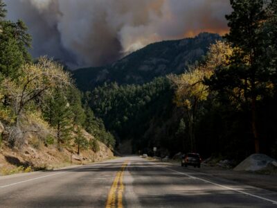
Not that there isn’t a lot of Old Journalism in the article as well. The reporters identified the largest hot spot and then went on the ground, interviewing people in the area (and taking some terrific photos). It’s not temperature change that most troubles the people on the Western Slope near the Continental Divide. It’s water. Rainfall has dropped and the snowpack has decreased, while evaporation has increased. The result has been a threat to the area’s agricultural economy.
The area is trying to adapt. One small town sold off its water rights and went out of business. Farmers elsewhere are trying out new crops like growing hemp for CBD, with mixed success. They’re also beginning to reluctantly acknowledge that climate change might have something to do with their problems. They’re seeding clouds, trying to increase rainfall in their area (though perhaps robbing rain from areas to the East?). As warming continues, however, these stopgap solutions may peter out.
The reasons for these hotspots aren’t entirely clear. Looking at the map, some seem associated with urban areas (LA, NYC, Miami), though other urban areas like Chicago aren’t showing similar trends. The Western Slope seems to be an intensified version of a trend toward the drier, warmer conditions expected to impact much of the region. It’s on the edge of a much larger area of above-average temperature increases. Ultimately, the impact may include the entire region dependent on the Colorado River, which includes the Southwest and Southern California. Even now, the reservoirs in Lake Mead and Lake Powell are only about half full.
The Western Slope may be the canary in the coal mine, giving us a preview of what lies ahead for a large swathe of the country where millions of people live.


Reader Comments